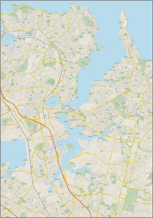
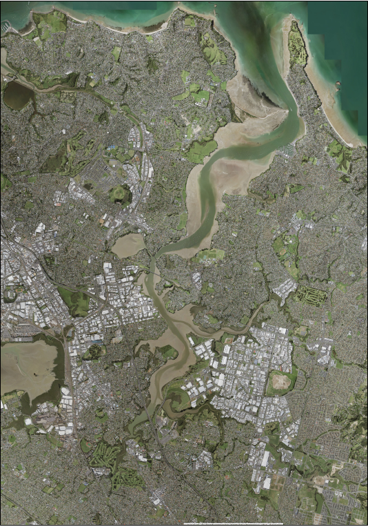
Tāmaki Estuary
The Tāmaki Estuary is an important waterway that feeds into the Hauraki Gulf. It is located on the Tāmaki Makaurau isthmus. From its mouth between Karaka Bay and Musick Point, it extends approximately 17 km southward, with several tributaries on either side, all of which are themselves also estuarine in their lower reaches.
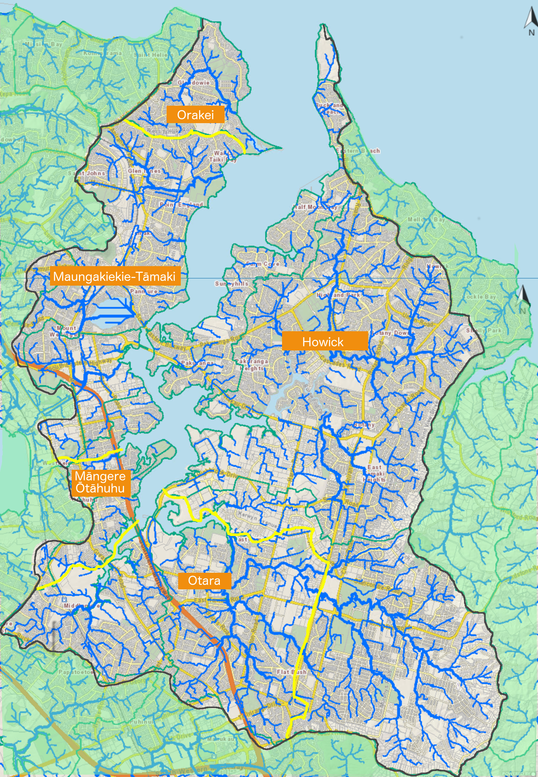
The Estuary and its tributaries have long been undervalued yet are important natural and community assets.
For many years the Estuary has been detrimentally affected by under investment in pollution control, storm-water management and treatment, and ecological restoration. It suffered significant degradation, especially throughout the 20th century, from both industrial pollution from factories and fine silt and mud sedimentation from inadequately controlled soil runoff that emanated from commercial and residential development sites within its catchment area.
(click to enlarge)
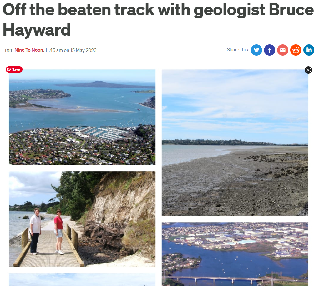
Geologist Bruce Hayward explored the Tāmaki Estuary in 2023 and provides a fascinating audio narrative about its geological history.
Play audio ->
Bruce Hayward produced an in-depth 72 page publication “Intertidal Life of the Tāmaki Estuary and its Entrance, Auckland” in 2005 for the Auckland Regional Council.
Take a walk around Tahuna Torea.
This is the area that was the focus for the establishment of TEPS in 1969, as detailed in the Chris Barfoot book Tahuna Torea – from Tip Site to Nature Reserve.
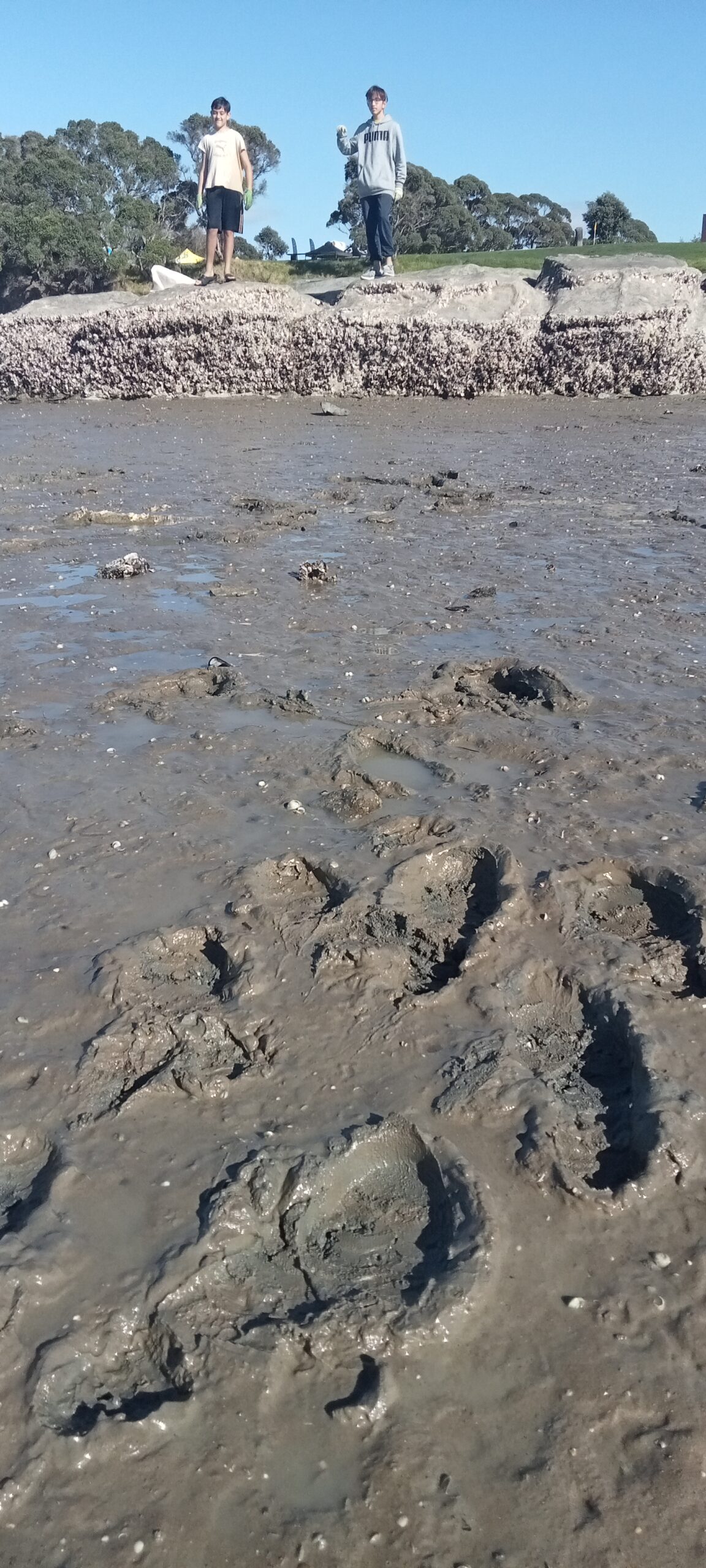
If you walk around the shoreline of Tāmaki Estuary, especially around Wai-o-Taiki Bay from early springtime, you might be fortunate to see bar-tailed Godwits, a fully protected New Zealand native bird known to Māori as Kuaka. These amazing birds are world record holders for performing the longest non-stop flight of any non-seabird. They usually begin arriving in New Zealand in early September, after a flight of more than 11,000 km from Alaska, over eight or nine days. They typically arrive with half their weight from when they left Alaska. More information: at Gumboots on for Godwits.
More: Tāmaki Estuary entry on wikipedia